PE PLE

PE PLE

Salem M rsy

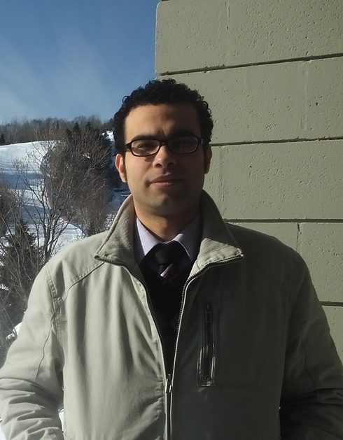
Dr. Salem Morsy
Postdoctoral Research Fellow
School of Ocean Technology, Fisheries and Marine Institute of Memorial University of Newfoundland
Dr. Morsy obtained his PhD degree in Geomatics Engineering from the Department of Civil Engineering, Toronto Metropolitan University (formerly Ryerson University). His research focused on Light Detection And Ranging (LiDAR) point cloud processing for land/water delineation and land cover classification of urban areas. Dr. Morsy uses machine learning algorithms for 3D point cloud processing for urban areas classification and road features extraction.
His role in the BEcoME project, within working package 4.2, is to use advanced remote sensing technologies (e.g., laser scanning systems) for 3D pint cloud data collection of seafloor in the northwest Atlantic, and develop segmentation and/or classification approaches for 3D high resolution mapping of seafloor species and monitoring of habitat change over large survey areas.
He is an instructor at the Faculty of Engineering, Cairo University in Egypt. He has taught Geomatics courses, such as Surveying for Engineers, Photogrammetry, and Remote Sensing.
Areas of Expertise:
LiDAR remote sensing
3D point cloud processing
Land cover classification
Road features extraction
Seafloor classification
Contact: Salem.Morsy@mi.mun.ca