PEOPLE
The project team will be led by two Principal Investigators - Dr. Craig Brown (Dalhousie University) and Dr. Katleen Robert (Memorial University). Co-Prinicipal Investigators will lead each of the work packages, comprising a team or research students, postdoctoral researchers, & collaborators.
AB UT US

The BEcoME Project (Benthic Ecosystem Mapping & Engagement), through a series of inter-connected, cross-disciplinary work-packages, addresses the role benthic habitat plays in controlling shifting patterns in species & biodiversity caused by a changing ocean climate. This role is examined across spatial scales, from:
-
broad-scale geomorphology mapping over the entire NW Atlantic, to
-
fine-scale surficial geology & benthic habitat mapping using innovative technologies over local case study areas.
The ocean is an integral part of Canada’s culture, environment, public health & economy. The ocean economy in Canada employs over 324,000 Canadians and contributes $30 billion of Gross Domestic Product each year. Atlantic Canada’s commercial fishery is built primarily off benthic shellfish, valued at over $3 billion in 2018 (80% of total national revenue generated by commercial sea fisheries). Globally, commercial fishing, combined with other ocean sector industries, place enormous pressures on benthic ecosystems that provide services that are vitally important to ocean health. Although the state of our knowledge on benthic ecosystems has progressed over the past few decades, only a fraction of the world’s seafloor is mapped at adequate resolution, greatly limiting our understanding of critical seafloor processes. Despite the economic importance of benthic fisheries in Atlantic Canada, focus on studying, mapping & monitoring benthic ecosystems in the region is lacking.
Climate-induced change on the range and distribution patterns of benthic fauna are predicted to occur in many parts of the world’s oceans. In the NW Atlantic, benthic ecosystems are particularly vulnerable to these climate-induced pressures. However, precise prediction on how these changes will occur, or the underlying abiotic & biotic drivers of change, are mostly unknown. When faced with warming temperatures, studies have shown that many species exhibit poleward range shifts. However, the role that availability of suitable benthic habitat plays in this process is largely unknown due to a scarcity of available seafloor mapping data. This is a critical gap in almost every study to date examining climate impacts on benthic faunal distributions. The BEcoME project is designed to investigate & remedy this gap.
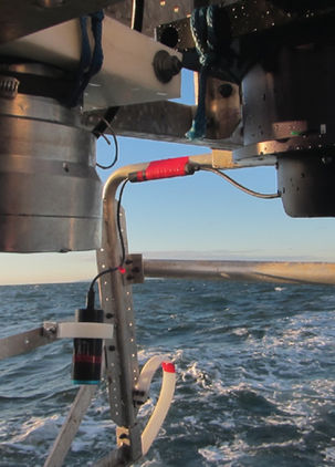
The project will align with a major Ocean Super Cluster (OSC) project which will map the seafloor at targeted locations in the NW Atlantic using innovative technologies . The BEcoME project team will work closely with industry participants of the OSC project to develop new signal processing & seafloor characterization techniques. Compiling these geospatial data sets will amass extremely large volumes of data, & the project will therefore link with DeepSense at Dalhousie University for expertise in big data analytics. The project will also work with community & indigenous groups to examine the role that Local Ecological Knowledge & Traditional Knowledge can play in generating seafloor habitat information & maps against which climate-induced shifting patterns of species distribution can be determined. Finally, results from these research activities will be operationalized through engagement with industry, government & community end-users to identify when, how & where seafloor maps can facilitate sustainable ocean stewardship.
For centuries, the ocean has captivated our curiosity. We marvel at breaching whales, diving dolphins, and colourful creatures. But what about further down, at the deepest darkest depths? Sure we've heard myths of mysterious monsters, sunken ship wrecks, and secret submarine worlds lurking below the surface, but what is actually on the ocean floor? Ocean School heads out to the North Atlantic with a group of researchers from the BEcoME Project to find out.
Ocean School sets out with researchers from the BEcoME project to map the ocean floor off the coast of Newfoundland.


